2,500+ Waterfalls of New York State
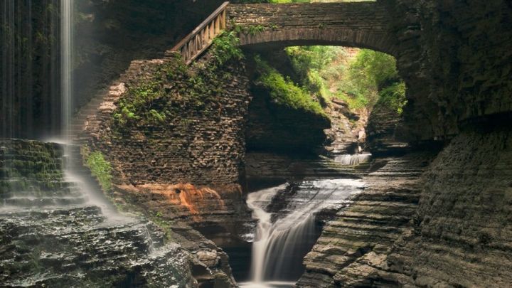
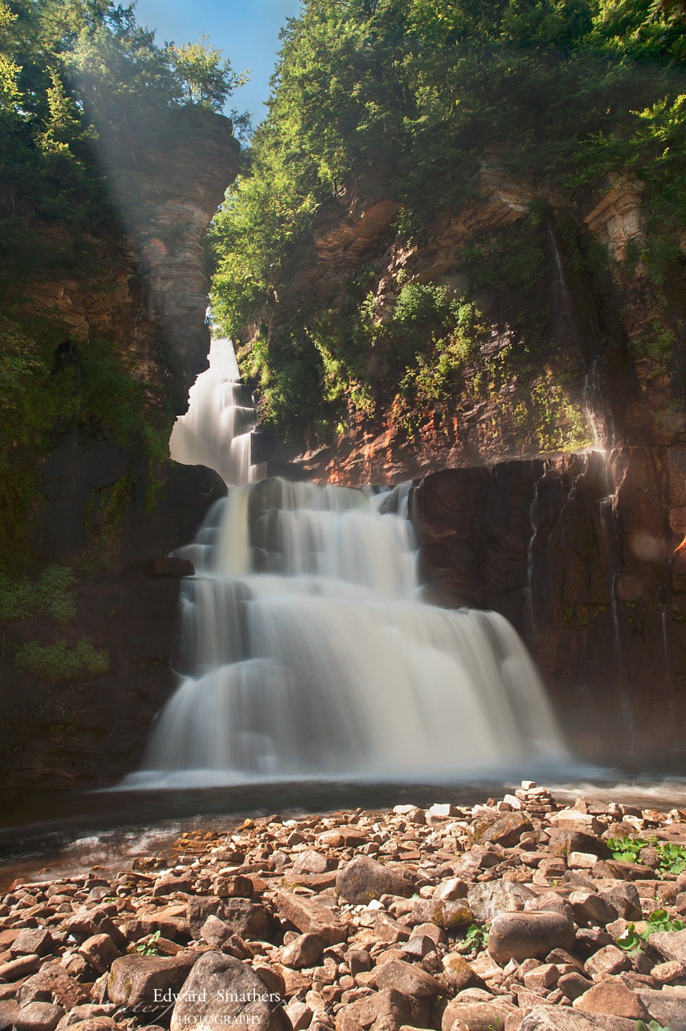
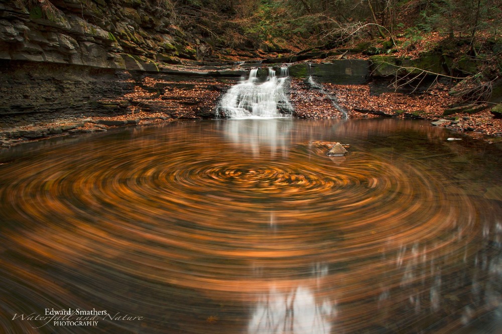
You read that right. There are OVER 2,500 waterfalls in New York State! Don’t believe me? Keep reading.
In Short, I Want To...
I want to enable anyone with any ability, or disability, to be able to experience these areas through video, audio and other avenues. Photospheres, drone captured video, photos, audio of the waterfalls and telemetry of the waterfall itself (height, coordinates and other measurements). Please Follow our journey, share our campaign and "heart" it if you like it!
The story of us (and Dig The Falls)
Around 2005 I moved to the Capital Region, also known as Upstate NY (proper), and subsequently met my wife, the one and only Jessica Painter. Our first date was a hike to Bash Bish Falls. We continued to visit dozens of other waterfall locations as we dated. Eventually I started a small list of waterfalls based off the hiking guides of Russell Dunn (this was the formal inception point of Dig The Falls and the waterfall “list”).
After recording over 300 locations with the help of Russell’s guides, I began to realize that New York State has quite an impressive collection of waterfalls. I began delving deeper and researching the subject as much as possible, creating connections with Scott Ensminger, Russell Dunn, Jan and Christy Butler and many other waterfall authors and enthusiasts along the way. In the meantime, still visiting as many locations as I could, I began working on a website that would allow me to share these locations. Dig The Falls .com was born!
The wakeup call!
As time went on I started interviewing some of these authors and enthusiasts for blog articles, which became my way of befriending these wonderful individuals. It was great learning about them and all their experiences. One of the first interviews I did was with Scott Ensminger (Falzguy.com).
Scott is, to put it plainly, a put it plainly type of man. He says what he means and means what he says. His love of waterfalls and spelunking has been with him from a very early age and is only superseded by his respect for land owner rights. This was where I was clued in on one of the biggest limiting factors in trying to educate people about the waterfalls of New York State.
At least 75% of the waterfalls on my current list are privatized or posted. Scott was generous enough to offer me guidance while staying patient with my ignorance of the situation. People can be awful, to be blunt. Not the land owners!! Most land owners can put up with anyone visiting their waterfall without permission. Where the issues lay is with the disrespect for the property surrounding the waterfall and the waterfall itself. This is an all too regular occurrence… Even some state preserves have been closed due to these issues.
This woke me up to a whole new appreciation for the impact of what I was trying to do!
Waterfalling is a journey, not a destination
Russell Dunn originally coined the term “waterfalling” for me personally, which is best described just as it sounds: the act of hiking to, enjoying or watching waterfalls. This word was instantly interesting to me, since I had not seen the word before, but began using it whenever it fit!
In knowing Russell and Scott I came to realize that the task ahead of me did not have an end point. Some time ago I reached 1,500 waterfalls for the state. This is well over the number Russell has in all of his New York waterfall guides, but just barely better than what Scott has listed on his website, which only covers the Western and Central portion of NYS.
(To be fair, I should mention that a waterfall, in our definition, has to meet certain criteria. If it is named on a historical topo map or marker it automatically gets included. Aside from this, it has to be at least 5’ high and not be located on a seasonal streambed.)
New York is greatly varied in geographical features! I told myself that if Scott had 1,200+ for his “region” then I had better have three times that for the entire state! I currently have accumulated 2,400+ waterfalls. It has been almost 10 years and I am still finding new locations every month…
Waterfalls of New York State
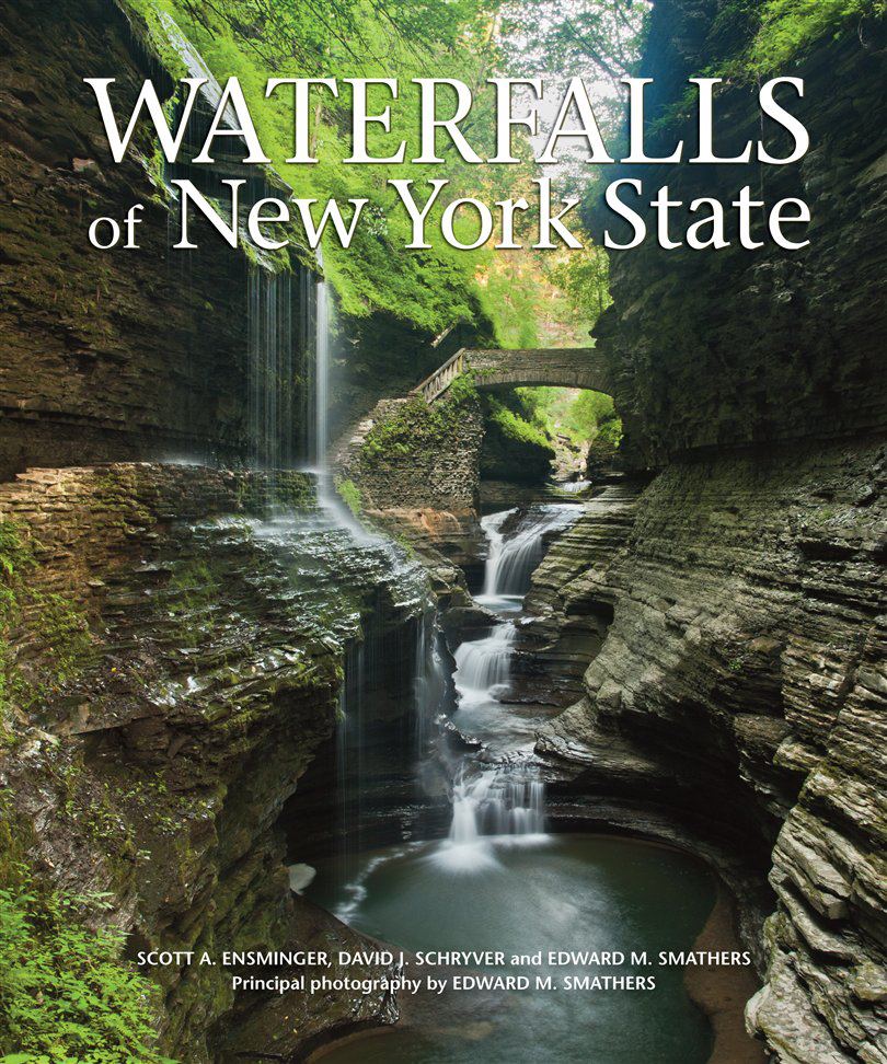
Published in 2012, Waterfalls of New York State was to be one of many publications I would be part of… or so I thought. My photos lined the pages of this waterfall book - a true one-of-a-kind for New York State waterfalls. There were many books on the subject, but none came close to capturing all of the waterfalls photographically as this book did.
I had a local gallery exhibition, several book signings and met some really great people during my travels to each of the waterfalls in the book, but more book opportunities did not come running out of the woodwork after this publication.
Oddly enough, without any of these opportunities present, people were still asking for more! Maybe I needed to think out of the box.
Photos are nice, but they can only capture so much. My best works still thrill me to look at today. But there had to be something else to offer those people that wanted “more”…
The Ideas…
The ideas… Let’s just say that my wife Jessica has been very patient through all the iterations of websites, software and hardware upgrades, gadget and gismo purchases and my unrelenting blabber of and about waterfalls. I’m sure she thought I had a combination of Asperger’s and OCD rolled up into a grown man with ADHD… But she relented and we eventually got married, bought a house and now have three dogs and a baby girl. We are truly blessed!
With all these life changes comes a certain clarity that just hits you during a random day of calm reflection.
“I need to simplify…”
And so I did…
I rid myself of almost all my personal projects, simplified my websites and consolidated everything into the Dig The Falls platform, which was further simplified by joining the Field Trip App. Field Trip allowed me to share the locations with a photo in a format that did not create more work than a short story of a waterfall should be!
After all of this there was still one more part of the puzzle missing…
!!The Grand Finale!!
This is where the Waterfalls of New York will shine! After almost 10 years of websites, photo trips, books and networking, I wish to bring a whole new dimension of access to these waterfalls. An idea that was conceived through all the information I have absorbed and people I have met throughout these years.
Arial video of each accessible location would be put together for the enjoyment of anyone with access to the Dig The Falls video channel. – Most likely YouTube.com and/or Vimeo.com
Photo Spheres will be created (I tried to apply for the Google Trek Program, but never heard back…) for some of the most beautiful portions of the areas that these waterfalls are located. This would allow anyone to gain appreciation of these beautiful areas without having to make the trek. Because, let’s face it, not everyone can be as able as they are willing to get out to these areas. Everyone deserves to see these areas!
Audio recordings at the waterfalls will allow people the ability to listen to one of the most relaxing soundscapes on the planet!
GPS and Altitude Telemetry offering, for the first time, accurate height and locational data of each waterfall. (limited availability at first, due to the difficulty level of retrieving the recording gear)
All of this bundled with as accurate as can be created GPS trek files, including altitude information.
What do we need to make this a reality?
I am in possession of some of the best photography gear for a project of this magnitude (Nikon DSLR’s with a dozen lenses and full frame sensors)($20k+ of gear), cell phones and a Garmen GPS for recording the trails (3k+ of gear), hiking and mountain biking equipment ($2k+ of gear), a great website to post blogs and updates to (Yearly costs have been covered over the past 10 years and ongoing) and my (our) time…
What I will need:
-Photosphere camera – This can be done with a cell phone, but a specialized camera would offer best in class quality for the viewer’s best experience – Similar to this: https://www.panono.com/#/en/shop
~$1,200
-360 degree HD audio recording device – This will create the listening experience in surround sound! – Similar to this: http://www.bhphotovideo.com/c/product/849164-REG/Tascam_DR_40_Court_Room_Recording.html
~$400
-Drone – This is where we start out simpler. While you can easily spend $25k+ for a great drone, DJI has an entry level drone with 4K video that would be perfect for the purpose of this project - http://www.dji.com/product/inspire-1/feature
The drone will be upgraded as needed to accommodate bigger cameras and photoshere capabilities should this project really take off!!
~$3,399
-Telemetry – Custom equipment including recorder, GPS and altimeter
~$750
-Travel and Editing Time* – While it is always awkward to value your time, everyone would agree that time is worth something. This is where it gets tricky… I can get fully funded for everything above, but if I cannot afford to take the time to capture all of this and then put it together, it will be for naught…
*Time – Please consider the hundreds of hours I have logged so far researching, hiking, photographing, writing, networking and more, prior to even starting this project. All of this experience will be brought to the table while creating the content for the project and bringing to you to enjoy! (I estimate 2 days of data capture and two weeks editing per location prior to launch of content for a single location)
I will be asking for less than $4,000 in gear and bringing well over 10 times that in my personal gear and insurance to the table. Please consider this when donating to this project.
The plan i to gathe material and display 5 unique locations fom across the state. Future locations would be funded through video hits and further donations from viewers like you.
For your amusement – Something I threw together a while back: