Purchase Historical Namibian Topographic Maps
Please help me raise £1000 (£25 donated offline) to purchase the historical topographic map series of Namibia.
In 1990 South West Africa gained its independence from South Africa and became Namibia.
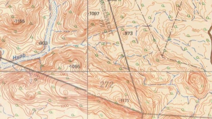
During the 1970s and 1980s the Surveyor-General of South West Africa, along with the South African Chief Directorate Surveys & Mapping, comprehensively mapped South West Africa and produced a series of 1:50000 Topographic Map sheets of the country.
The 1218 sheets are now extremely rare and it is very difficult to find a complete set. Thankfully a commercial project in the mid 2000s were able to collect and scan these invaluable sheets and they are willing to sell me a digital copy of their scans.
Please help me raise the £1000 to purchase these sheets and so that I can put them online like I have done with the South African 1:50k topographic series and the Ordnance Survey StreetView series. 
If this GoFundMe is a success, I hope to go on and do the same for the Historical Topographic Map series of Botswana, Zimbabwe, Mozambique, Swaziland, Angola and Zambia.